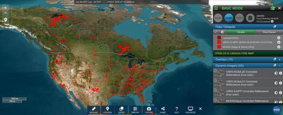



According to the Canadian Interagency Forest Fire Center, there are currently over 850 wildfires burning in the country. Most of them are burning completely uncontrolled.
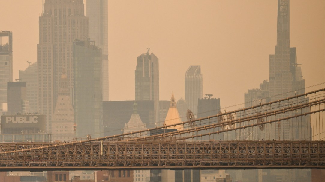
The fires have caused air quality across Canada and many parts of the United States to become “very unhealthy.” As a result, stories of alerts and closures are occurring all across the nation.
Chicago closed its beaches and outdoor pools for a second day on Friday as the air quality remained poor. In Michigan, the Department of Health and Human Services advised staying indoors with windows closed and air conditioning running. The Pennsylvania Department of Environmental Protection has declared a statewide Code Purple Air Quality Alert. Maryland Governor Moore announced Friday that the state of Maryland is under a Code Red air quality condition. New Jersey State Parks are reducing capacity of swimming areas to allow lifeguards and park staff more frequent breaks. And on and on it goes.
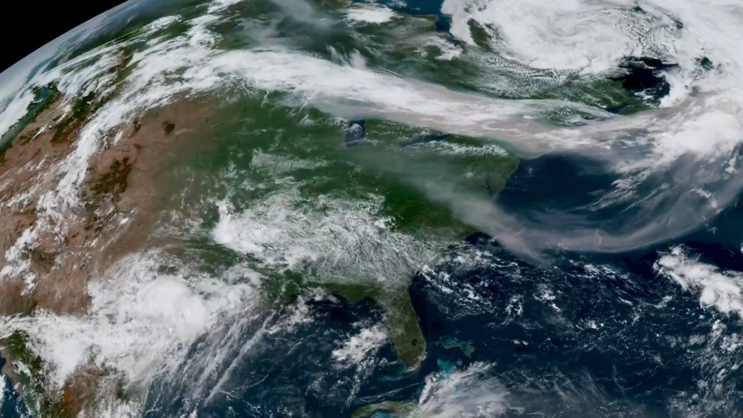
The image below shows smoke from wildland fires moving eastward over Canada and the U.S. in an image captured on the afternoon of July 14, 2026, by the VIIRS (Visible Infrared Imaging Radiometer Suite) on the NOAA-21 satellite.
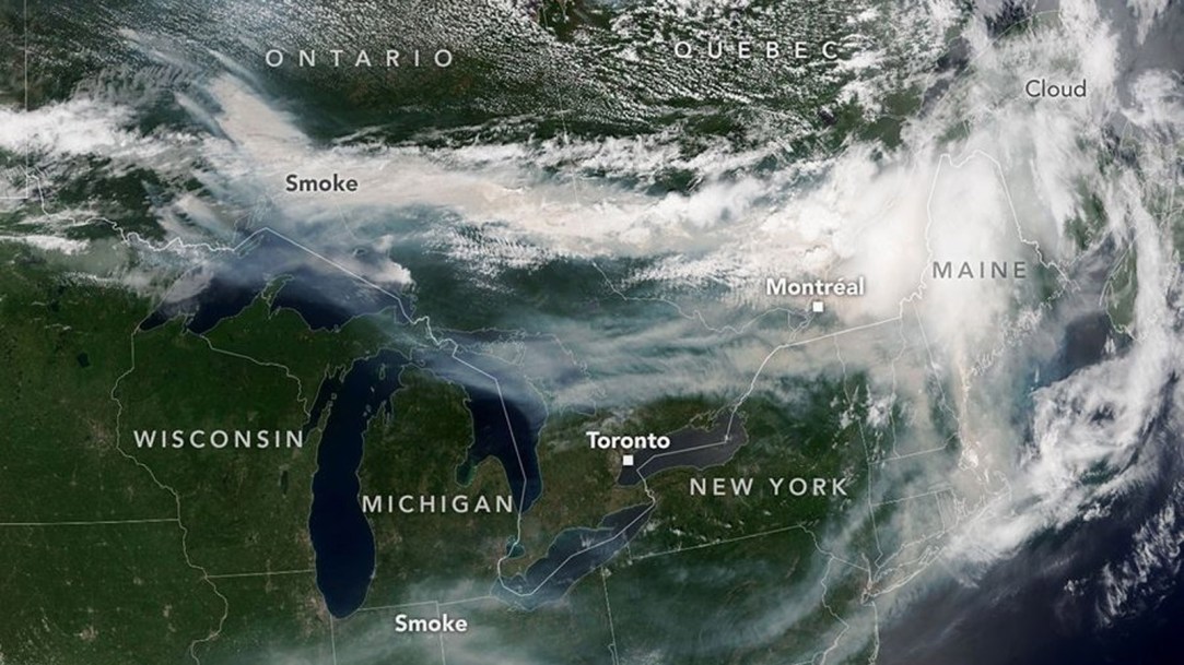
The global wildfire smoke forecast shows where air quality is the worst
The video below displays the global wildfire smoke forecast, showing brown carbon aerosol optical depth from NASA’s GEOS-FP model, demonstrating how smoke travels across continents with 5-day coverage.
Below is a screenshot of the NASA Fire Information for Resource Management System, or FIRMS. The Fire Information for Resource Management System distributes Near Real-Time active fire data from the Moderate Resolution Imaging Spectroradiometer aboard the Aqua and Terra satellites, and the Visible Infrared Imaging Radiometer Suite aboard S-NPP, NOAA 20 and NOAA 21 (formally known as JPSS-1 and JPSS-2). Globally, these data are available within 3 hours of satellite observation, but for the US and Canada, active fire detections are available in real-time.