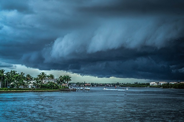
Hurricane Walaka is coming. And it looks to deliver a pounding. Hurricane Walaka was a Category 5 storm earlier this week with sustained winds of 157+ mph and threatened Hawaii, but missed the Pacific islands. Now, the storm has made a dramatic turn north and is headed for Alaska. Yes, Alaska.
Japan's #Himawari-8 satellite is watching over Typhoon #KongRey (left) and Hurricane #Walaka (right). Both storms reached Cat. 5 strength yesterday but have since weakened. Follow #Walaka on our Pacific hurricane tracker: https://t.co/4GiXUUNDpo pic.twitter.com/Rgv8UvMLNP
— NOAA Satellites (@NOAASatellites) October 3, 2018
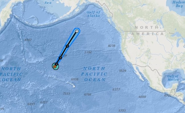
A closer look shows that Alaska is about to get fucked.
https://twitter.com/passantino/status/1047965752962084864
With the cold water looming many are expecting shrinkage. They were expecting six to nine inches, but in reality, they’ll probably only get three. The hurricane is expected to diminish to a tropical storm very soon due to colder northern water. A high-pressure system could cause the storm to pull out into the ocean.
The ballsy storm has prompted the internet to point and giggle. People were excited over the size of Hurriwang Walaka.
https://twitter.com/rebeccaverdon/status/1048042303816982528
Others were worried about the dong of a storm slamming into the coast.
This storm’s on a collision course currently headed straight for Pen Island. https://t.co/37uXjR1oln
— Spencer Dukoff (@SpencerDukoff) October 4, 2018
The National Weather Service has issued a flash flood watch through Sunday night for the southern coast of Alaska and your mom’s panties. If the storm lasts longer than four hours then call your doctor right away.
[LadBible]